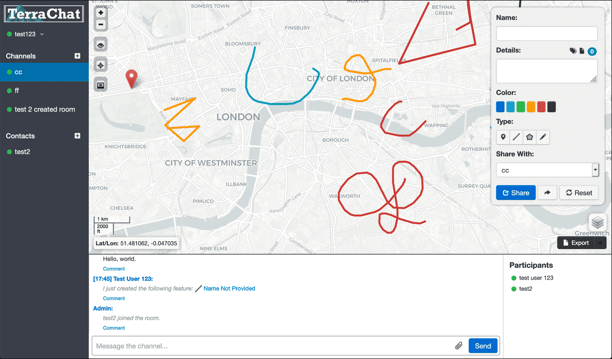
TerraChat is a geospatial collaboration tool that gives analysts a common view of geospatial data from within a next-gen chat tool.
TerraChat enables secure collaboration within a web-browser for Communities of Interest. Each "room" within TerraChat is like the combination of a Slack #channel and a high quality web map.
Maps within TerraChat allow data to be imported using a simple drag-and-drop process. Users can easily upload their own Shapefiles, CSV files, and Google KML files to instantly share geospatial content with others in a TerraChat room.
TerraChat also features advanced Natural Language Processing (NLP) capabilities that identify references to named places such as towns, cities, and facilities. Once identified, these places are automatically georegistered (assigned coordinates) and mapped with the other content in the chat room.
TerraChat supports many scenarios when sharing geospatial context is time-sensitive:
- Humanitarian Assistance and Disaster Relief (HADR)
- Event Security: Monitoring security of major events
- Collaborative Intelligence Creation
- Training: Supporting walk-throughs, training, and contingency exercises across a distributed team


